
Black Canyon of the Gunnison National Park


The below text is an excerpt from my authored blog post, “Black Canyon of the Gunnison National Park | Colorado.” The post was originally featured on mountain-things.com.
The three hours to Gunnison from Colorado Springs is no joke. The first two hours of the trip are miles of fields outlined by mountains on the horizon, with very few turns to keep it all interesting. Eventually, we hit Gunnison National Forest, where I spent most of the ride gripping my “oh sh*t” handle and telling my husband to slow down (he wasn’t going fast, I’m just rather wimpy on cliffside roads with no guard rail).

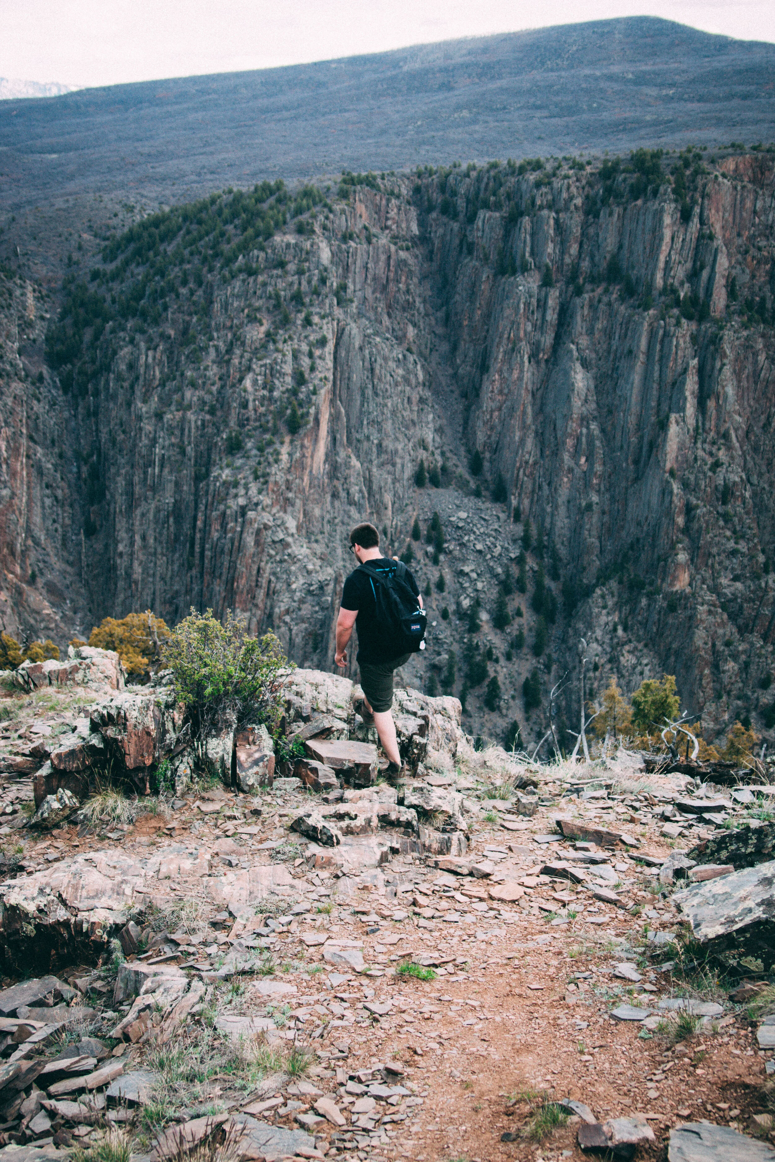
We made it to the South Rim of Black Canyon in a little over an hour. Our mini adventure began at Tomichi Point - one of the best views of the canyon just off the first parking lot. I found it difficult to imagine just how deep the canyon cut into the earth, but the tingling and numbness in my fingertips were an effective indicator.

Though our schedule was limited, we still wanted to see as much of the park as possible. We got a map and a few pointers from a Visitor Center employee. As it turns out, most visitors experience the majority of the Black Canyon from their car. The South Rim has just two roads: East Portal and South Rim Road, the former of which is closed to cars that lack the capability to climb a 16% grade. So, of the few trails available to hike on the south rim, we opted for Rim Rock trail - just enough to get our blood pumping and remind us how spoiled we are with our oxygen-rich Pennsylvania air.
Encroaching darkness and a few sinister clouds told us it was time to wrap it up, so we turned our car around and headed back to Gunnison. I won’t lie, my expectations were a bit higher in terms of hiking options in the canyon, but you won’t find me complaining about a stellar view.

Read the full blog post here.